
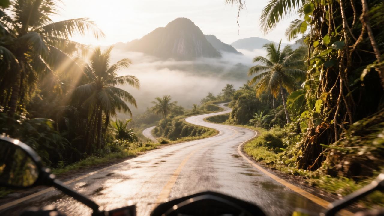
For adventure seekers, digital nomads, and motorcycle enthusiasts, Northern Thailand represents the pinnacle of freedom on two wheels. While there are countless roads slicing through the misty valleys of the north, none hold the legendary status or the sheer accessibility of the famous Samoeng Loop. Covering approximately 100 kilometers of pristine tarmac, steep mountain inclines, and breathtaking scenery, this circuit offers the perfect day trip. Securing a reliable motorcycle rental in Chiang Mai is your first step toward conquering this loop, which serves as a rite of passage for anyone wanting to experience the true geographical beauty of the region.
The loop takes you on a magnificent journey through deep mountain passes, lush tropical jungles, and agricultural valleys hidden behind the Doi Suthep-Pui mountain range. However, this route demands respect. With hundreds of tight corners, sudden elevation drops, and unpredictable mountain traffic, you need to be fully prepared before twisting the throttle. This exhaustive guide provides a turn-by-turn breakdown of the route, essential safety protocols, and the best cultural stops along the way.
Anatomy of the Loop: Clockwise vs. Counter-Clockwise
One of the first decisions you must make before leaving the city center is the direction of your journey. The Samoeng Loop can be tackled in two distinct ways, and each offers a fundamentally different riding experience based on your skill level and preferences:
- The Counter-Clockwise Route (Via Mae Rim – Highway 107 to 1096): This is the most popular direction for casual riders. It offers a gentler introduction to the mountains. The road winds gradually through the commercialized tourist attractions of the Mae Rim Valley before hitting the steep, technically demanding switchbacks as you climb toward the Samoeng viewpoint. It allows you to tackle the steepest sections while climbing uphill, which is generally safer for braking control.
- The Clockwise Route (Via Hang Dong – Highway 1269): This direction throws you into the deep end almost immediately. After a short ride south along the canal road, you turn directly into the steep, twisting climbs of the Hang Dong valleys. This direction means you will be riding down the steepest, sharpest switchbacks on the Mae Rim side toward the end of your day, requiring excellent front-brake management and confident downhill control.
Step-by-Step Route Breakdown and Major Waypoints
To maximize your day on the road, it is best to view the Samoeng Loop not just as a continuous racetrack, but as a cultural corridor filled with incredible stopovers. Below is the ultimate itinerary for a full-day adventure starting from the city center.
Phase 1: The Mae Rim Valley Highway and Botanical Escapes
Leaving Chiang Mai via Highway 107 heading north, the urban landscape quickly gives way to the bustling district of Mae Rim. Turning left onto Highway 1096, you enter the gateway of the loop. The air instantly cools as the road rises into the canopy. Your first major stop should be the Queen Sirikit Botanical Garden. Here, you can walk along a massive steel canopy walkway suspended high above the jungle floor, offering panoramic views of the indigenous flora of Northern Thailand.
Phase 2: The High Mountain Passes and the Samoeng Viewpoint
As you pass the botanical gardens, the road narrows and the gradient increases significantly. This is where your machine’s torque is truly tested. The switchbacks become tighter, requiring smooth throttle delivery and precise weight distribution. At the highest crest of Highway 1096 sits the Samoeng Forest Viewpoint. This is the perfect spot to park your bike, let your brakes cool down, and capture stunning photographs of the endless layers of green mountain peaks stretching toward the Myanmar border.
Phase 3: Entering Strawberry Valleys and Rural Life
Descending from the viewpoint, you will reach a major T-junction where you turn left onto Highway 1269. Turning right would take you into the remote town of Samoeng itself, famous for its vast strawberry fields. Staying on the loop via Highway 1269 brings you into a pristine agricultural valley. Here, the road tracks alongside mountain streams, taking you past local wooden villages, organic coffee plantations, and roadside stalls selling fresh local fruits depending on the season.
Phase 4: The Serpentine Descent Through Hang Dong
The final leg of the loop along Highway 1269 back toward the Hang Dong district contains some of the most technically rewarding curves for experienced riders. The asphalt here is wide and beautifully banked, but the downhill gradients can be incredibly steep. Focus on engine braking to prevent your brake pads from overheating. As the mountains finally flatten out, you will connect with the Hang Dong Canal Road (Highway 121), offering a straight, easy cruise back into the heart of Chiang Mai.
Terrain and Elevation Profile
Understanding the physical demands of the road will help you manage your stamina and your vehicle’s mechanical health throughout the day:
Maximum Elevation: Approximately 1,150 meters above sea level.
Total Corner Count: Estimated at over 200 distinct curves and switchbacks.
Road Conditions: Generally excellent asphalt, but highly susceptible to loose gravel, sand accumulation near mountain washouts, and wet leaf debris during or after rainstorms.
Pre-Ride Preparation Checklist for the Mountains
Before launching your bike into the twisties, make sure you have executed these crucial safety checks to avoid being stranded in remote mountain areas without cell service:
- Fuel Management: Always fill your fuel tank completely before leaving the city limits. While there are small, hand-cranked barrel pumps in rural villages, standard high-octane gasoline stations (like PTT) are virtually non-existent along the mountainous stretches of Highway 1096 and 1269.
- Brake Fluid and Pad Check: Mountain riding destroys weak brakes. Visually inspect the thickness of your brake pads and ensure your brake fluid reservoirs are completely full. If the levers feel soft when squeezed, exchange the bike before leaving.
- Weather Awareness: Mountain weather can change in minutes. Even if the city center is scorching hot and sunny, the high elevations of the Samoeng Loop can experience sudden downpours and dramatic temperature drops. Always pack a compact, lightweight rain jacket under your seat.